
The Mid-River prairie area is located next to the Mid-River Marina along 965.

This area has an existing paved walkway but no bathrooms. It is a day use only area that has become overgrown and is not being used by the people in the area. Along with this parcel next to the marina, a larger parcel of land is located just north of the marina, accessible via a land bridge. The area to the north has an old quarry that connects to the lake. During high water the current land bridge floods which prevents connection between the two areas. The land is currently not being utilized by many visitors and is overgrown with weeds, including poison ivy and sumacs. The Friends of Coralville Lake (FOCL) has developed a multiple year project to improve the area, meeting the mission of FOCL. Future use of parts of the area will include trails for walking and biking through wild prairies, bird blinds for birding and an improvement of the snowmobile trail along the land bridge. These changes will improve the usability in the area and also help the landowners located close by. Working with the Corp of Engineers, the FOCL group will work towards this vision.
Phase 1
Starting during the summer of 2016, basic mowing along the paved path will start with some minor cleanup work. In the fall, the area will be burned to remove the sumac and other noxious weeds.
Working with the Corp, seeding will occur for a natural prairie. Paths in the main Mid River section will be developed to be used for walking, jogging and biking and a parking lot put in at the entrance of the area. These will be maintained for year round use. Some picnic tables will be placed in the area for users. The objective of this area is to support natural prairie with access for all. As a natural prairie, signs will be posted to explain how prairie systems work with additional signs posted to help users identify the plants in the ecosystem.

Phase 2

Phase two is to develop the north side of the area. This area was once part of Curtis Bridge Road but now has limited accessibility. A trail system would be built through this area designed for joggers, bicyclists and hikers. This trail would lead from the fishing pier all around the lake for a great view of the lake during sun rise or sun set.
Along with the trail system, a bird viewing area will be built just north of the old quarry similar to what is built at the Veteran’s trail area. This will allow an additional area for viewing of wild birds.
Phase 3
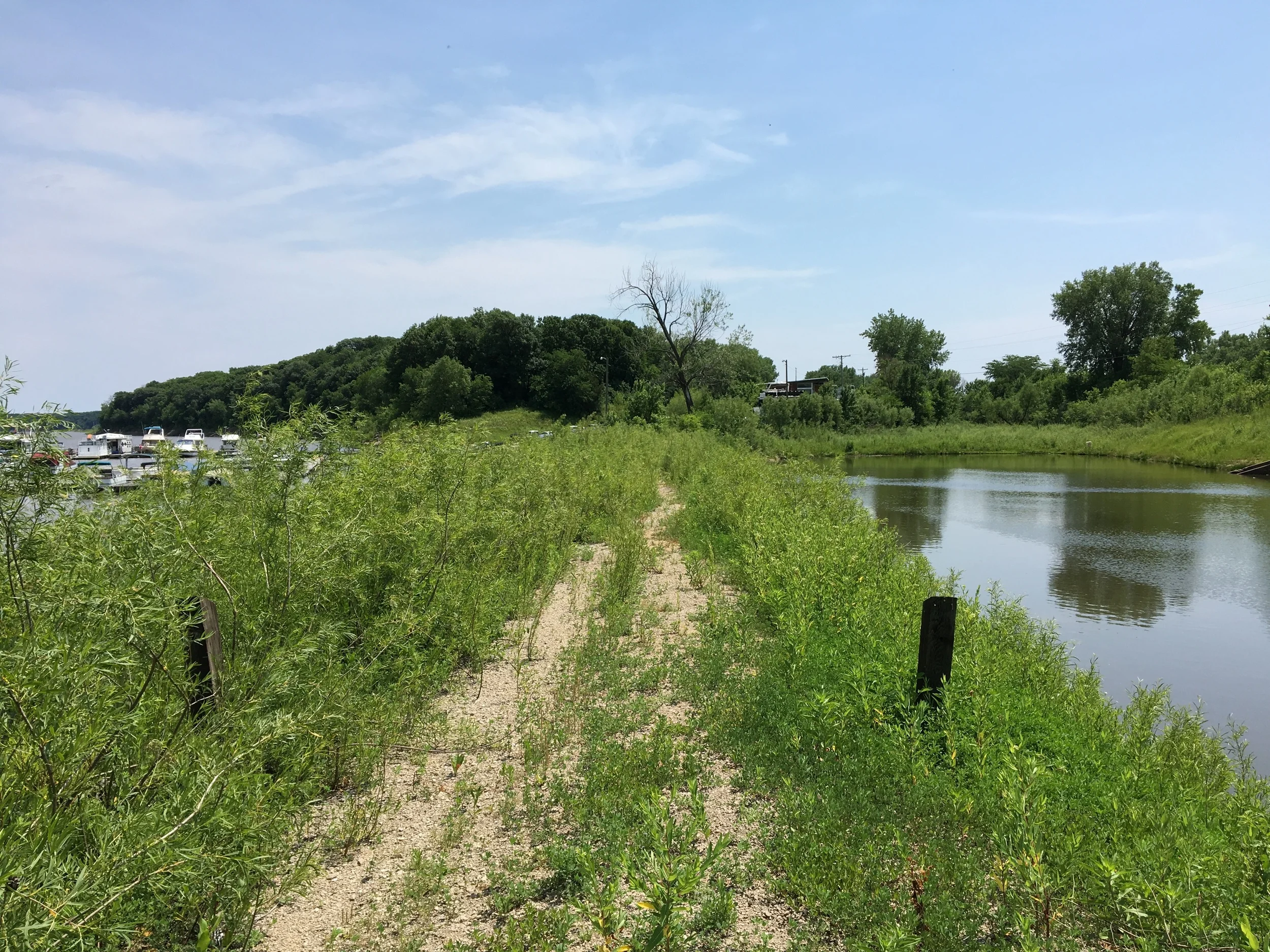
Phase 3 is the connection of these two areas. Currently there is a land bridge between the two areas. Unfortunately, this bridge floods during high water. In order to make this area more accessible, large rock will need to be brought in and the bridge level will need to be increased by 10’. This connection will be used as a trail between the two sides and to improve the local snowmobile trail who are currently riding along the pavement in this area. Drainage tile will be placed under the trail to help water move between the lake and the small pond that sits to the west of the lake. The outlet of the pond is currently blocked so water is forced to run over the bridge.